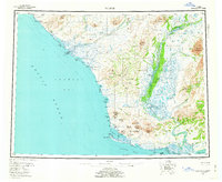
1955 Map of Noatak
USGS Topo · Published 1962About this map
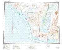
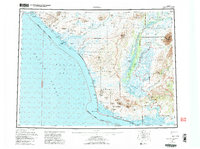
The Noatak River dominates this mid-century survey as it winds through a wide alluvial corridor toward Kotzebue Sound. Along the coast of the Chukchi Sea, the settlement of Kivalina sits on a barrier reef separating the open ocean from Kivalina Lagoon. A long Winter Trail connects these coastal reaches to the interior, providing a vital transportation link through the Baird Mountains and De Long Mountains. Further south, the map identifies the traditional site of Ipiutak near the prominent Cape Krusenstern. The landscape is characterized by a complex system of coastal lagoons, including Imigrook Lagoon and Krusenstern Lagoon, which indicate the shifting interface between the Arctic waters and the tundra. Inland, isolated peaks such as Mount Noak and Sivukat Mountain rise above the river valleys, marking a terrain where aviation and winter travel were the primary means of navigation between Noatak and the sea.
Find a feature on this map
48 named features on this map. Tap any name to fly to it.
Don’t see what you’re looking for? This feature index may not catch every label — zoom into the map to look around manually.
Map Details
Editions of this 1955 Noatak Map
7 editions found

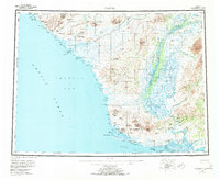
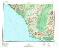
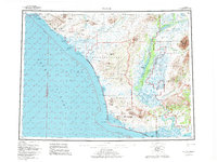
Other maps of this area

1950 · Shishmaref
USGS Topo · 1:250,000

1951 · De Long Mountains
USGS Topo · 1:250,000

1951 · Baird Mountains
USGS Topo · 1:250,000

1951 · Selawik
USGS Topo · 1:250,000

1951 · Shishmaref
USGS Topo · 1:250,000

1951 · Noatak
USGS Topo · 1:250,000

1951 · Kotzebue
USGS Topo · 1:250,000

1951 · Misheguk Mountain
USGS Topo · 1:250,000

1951 · Kotzebue D-1
USGS Topo · 1:63,360

1951 · Kotzebue D-2
USGS Topo · 1:63,360