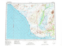
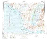
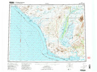
1955 Map of Noatak
USGS Topo · Published 1982About this map
Noatak River and Wulik River drainage basins dominate this subarctic coastal landscape, where the Lisburne Peninsula meets the Chukchi Sea. The mapping reveals a complex network of lagoons and inlets along the coast, including Kivalina Lagoon and Imikruk Lagoon, which were essential for subsistence and seasonal movement. Settlements are sparse, centered on the village of Kivalina on its barrier island and Noatak further inland along the riverbanks.
Find a feature on this map
69 named features on this map. Tap any name to fly to it.
Don’t see what you’re looking for? This feature index may not catch every label — zoom into the map to look around manually.
Map Details
Editions of this 1955 Noatak Map
7 editions found

Other maps of this area

1950 · Shishmaref
USGS Topo · 1:250,000

1951 · De Long Mountains
USGS Topo · 1:250,000

1951 · Baird Mountains
USGS Topo · 1:250,000

1951 · Selawik
USGS Topo · 1:250,000

1951 · Shishmaref
USGS Topo · 1:250,000

1951 · Noatak
USGS Topo · 1:250,000

1951 · Kotzebue
USGS Topo · 1:250,000

1951 · Misheguk Mountain
USGS Topo · 1:250,000

1951 · Kotzebue D-1
USGS Topo · 1:63,360

1951 · Kotzebue D-2
USGS Topo · 1:63,360