
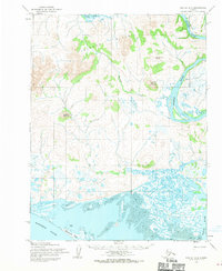
1951 Map of Kotzebue D-2
USGS Topo · Published 1957About this map
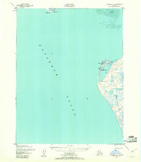
Kotzebue serves as the focal point of this coastal survey, situated on the tip of the Baldwin Peninsula overlooking the expanse of Kotzebue Sound. The map documents a critical period of post-war aviation and communication infrastructure, highlighting the Ralph Wein Memorial Aerodrome, a CAA Station, and several radio and astronomical markers like VABM 157 Radio Tower. To the north, the seasonal character of the region is evident at Sheshalik on the Sheshalik Spit, a traditional site for subsistence activities. Local landmarks such as a Cem and a Reindeer Corral provide evidence of the community's domestic and economic life. The terrain is characterized by complex shorelines and coastal features including areas of Mud, reflecting the challenges of Arctic navigation and settlement in the early 1950s.
Find a feature on this map
16 named features on this map. Tap any name to fly to it.
Don’t see what you’re looking for? This feature index may not catch every label — zoom into the map to look around manually.
Map Details
Editions of this 1951 Kotzebue D-2 Map
3 editions found
Other maps of this area

1951 · Noatak
USGS Topo · 1:250,000

1951 · Kotzebue
USGS Topo · 1:250,000

1951 · Kotzebue D-1
USGS Topo · 1:63,360
1951 · Kotzebue C-1
USGS Topo · 1:63,360

1952 · Noatak A-3
USGS Topo · 1:63,360

1955 · Noatak
USGS Topo · 1:250,000
1955 · Noatak A-1
USGS Topo · 1:63,360
1955 · Noatak A-2
USGS Topo · 1:63,360

1958 · Kotzebue
USGS Topo · 1:250,000

1964 · Noatak
USGS Topo · 1:250,000