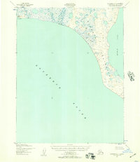
1951 Map of Kotzebue C-1
USGS Topo · Published 1967About this map
The Baldwin Peninsula dominates this coastal landscape, separating the open waters of Kotzebue Sound from the sheltered reaches of Hotham Inlet. This 1951 aerial survey depicts a low-lying tundra environment characterized by a dense network of small lakes and ponds, typical of the permafrost-influenced terrain above the Arctic Circle. Near the southwestern tip of the peninsula at Cape Blossom, the presence of a Light serves as a critical navigational aid for vessels approaching from the sound. A solitary Cabin appears along the inland waterway of the inlet, suggesting a seasonal subsistence site or trapper's outpost. The Army Map Service notation that no roads or trails existed in this area at the time of the survey underscores the reliance on maritime and winter sled travel for navigating this remote segment of the Northwest Arctic region.
Find a feature on this map
6 named features on this map. Tap any name to fly to it.
Don’t see what you’re looking for? This feature index may not catch every label — zoom into the map to look around manually.
Map Details
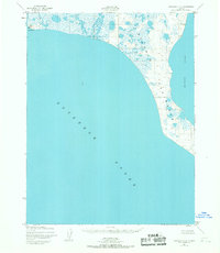
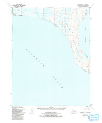
Editions of this 1951 Kotzebue C-1 Map
3 editions found
Other maps of this area

1951 · Selawik
USGS Topo · 1:250,000

1951 · Kotzebue
USGS Topo · 1:250,000

1951 · Kotzebue D-1
USGS Topo · 1:63,360

1951 · Selawik C-6
USGS Topo · 1:63,360

1951 · Selawik B-6
USGS Topo · 1:63,360

1951 · Kotzebue D-2
USGS Topo · 1:63,360

1951 · Selawik D-6
USGS Topo · 1:63,360

1952 · Selawik D-6
USGS Topo · 1:63,360

1957 · Selawik
USGS Topo · 1:250,000

1958 · Kotzebue
USGS Topo · 1:250,000