
1957 Map of Selawik
USGS Topo · Published 1961About this map
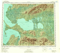
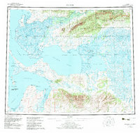
The Kobuk River delta and its intricate network of channels, including Melvin Channel and Riley Channel, dominate this mid-century survey of the Northwest Arctic. Settlements such as Kiana, Noorvik, and Selawik serve as hubs within a landscape defined by massive water bodies like Selawik Lake and Inland Lake. The interior is marked by the Waring Mountains and Hockley Hills, while a Winter Trail provides a glimpse into the seasonal transport routes through the Native Reservation north of the delta.
Find a feature on this map
61 named features on this map. Tap any name to fly to it.
Don’t see what you’re looking for? This feature index may not catch every label — zoom into the map to look around manually.
Map Details
Editions of this 1957 Selawik Map
7 editions found
Other maps of this area

1950 · Kotzebue A-1
USGS Topo · 1:63,360

1950 · Bendeleben
USGS Topo · 1:250,000

1950 · Bendeleben D-1
USGS Topo · 1:63,360

1951 · Candle
USGS Topo · 1:250,000

1951 · Baird Mountains
USGS Topo · 1:250,000

1951 · Selawik
USGS Topo · 1:250,000

1951 · Shungnak
USGS Topo · 1:250,000

1951 · Noatak
USGS Topo · 1:250,000

1951 · Bendeleben
USGS Topo · 1:250,000

1951 · Kotzebue
USGS Topo · 1:250,000