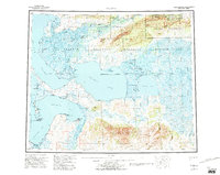
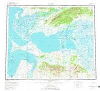
1957 Map of Selawik
USGS Topo · Published 1995About this map
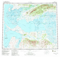
Selawik River and the complex waterways of the Kobuk River Delta dominate this landscape just north of the Arctic Circle. The 1950s era of northern aviation and transit is visible through features like Bob Baker Memorial Airport at Kiana and the Baldwin Seaplane Anchorage on the Baldwin Peninsula. Settlements such as Noorvik and Elephant Point are connected by seasonal routes like the Winter Trail, reflecting a reliance on the vast network of channels including the Melvin Channel and Riley Channel. Coastal navigation and safety are noted at Chamisso Anchorage and the Singauruk Shelter Cabin. Large inland bodies of water, particularly Selawik Lake and Inland Lake, are central to the region's geography, framed by the Kiana Hills and the Waring Mountains.
Find a feature on this map
56 named features on this map. Tap any name to fly to it.
Don’t see what you’re looking for? This feature index may not catch every label — zoom into the map to look around manually.
Map Details
Editions of this 1957 Selawik Map
7 editions found

Other maps of this area

1950 · Kotzebue A-1
USGS Topo · 1:63,360

1950 · Bendeleben
USGS Topo · 1:250,000

1950 · Bendeleben D-1
USGS Topo · 1:63,360

1951 · Candle
USGS Topo · 1:250,000

1951 · Baird Mountains
USGS Topo · 1:250,000

1951 · Selawik
USGS Topo · 1:250,000

1951 · Shungnak
USGS Topo · 1:250,000

1951 · Noatak
USGS Topo · 1:250,000

1951 · Bendeleben
USGS Topo · 1:250,000

1951 · Kotzebue
USGS Topo · 1:250,000