
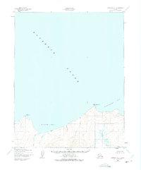
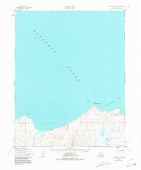
1950 Map of Kotzebue A-1
USGS Topo · Published 1950About this map
The northern shoreline of the Seward Peninsula meets the expansive waters of Kotzebue Sound in this 1950 aerial-derived survey. The landscape is defined by the transition from coastal lowlands to the rising elevations above Willow Bay, where multiple watercourses including Willow Creek and Hunter Creek drain toward the sound. A solitary Cabin is marked along the shoreline between Alder Creek and Hunter Creek, providing a rare indicator of human presence and shelter for those traversing this coastal stretch. Significant maritime landmarks such as Ninemile Pt and Motherwood Pt provide navigational orientation along the irregular coast. The eastern edge of the survey opens into Spafarief Bay, showing a landscape untouched by roads or established towns, characterized instead by its natural drainage patterns like Kirk Creek and the triangulation station Mother VABM.
Find a feature on this map
13 named features on this map. Tap any name to fly to it.
Don’t see what you’re looking for? This feature index may not catch every label — zoom into the map to look around manually.
Map Details
Editions of this 1950 Kotzebue A-1 Map
3 editions found
Other maps of this area

1950 · Bendeleben D-2
USGS Topo · 1:63,360

1950 · Bendeleben
USGS Topo · 1:250,000

1950 · Bendeleben D-1
USGS Topo · 1:63,360

1950 · Kotzebue A-2
USGS Topo · 1:63,360

1951 · Candle
USGS Topo · 1:250,000

1951 · Selawik
USGS Topo · 1:250,000

1951 · Bendeleben
USGS Topo · 1:250,000

1951 · Kotzebue
USGS Topo · 1:250,000

1951 · Selawik B-6
USGS Topo · 1:63,360

1951 · Candle D-6
USGS Topo · 1:63,360