
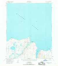
1950 Map of Kotzebue A-2
USGS Topo · Published 1957About this map
The coastal village of Deering serves as the focal point for this coastal survey of the Seward Peninsula’s northern edge. Situated at the mouth of the Inmachuk River where it meets Kotzebue Sound, the settlement is flanked by Cape Deceit and a local Landing Strip, illustrating the importance of maritime and air access in this subarctic environment. To the east, the landscape opens into the expansive Kugruk Lagoon, a significant geographic feature of the coastline. The map, based on aerial photography from 1949 and 1950, details the intricate drainage patterns of Smith Creek and the surrounding marshy lowlands. This survey captures a specific moment in the mid-century development of Northwest Alaska, documenting the intersection of indigenous settlement and early modern aviation infrastructure.
Find a feature on this map
10 named features on this map. Tap any name to fly to it.
Don’t see what you’re looking for? This feature index may not catch every label — zoom into the map to look around manually.
Map Details
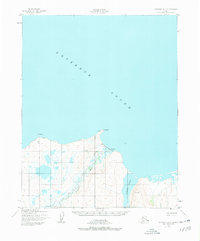
Editions of this 1950 Kotzebue A-2 Map
3 editions found
Other maps of this area

1950 · Kotzebue A-1
USGS Topo · 1:63,360

1950 · Bendeleben D-2
USGS Topo · 1:63,360

1950 · Bendeleben
USGS Topo · 1:250,000

1950 · Bendeleben D-3
USGS Topo · 1:63,360

1950 · Bendeleben D-1
USGS Topo · 1:63,360

1950 · Kotzebue A-3
USGS Topo · 1:63,360

1951 · Bendeleben
USGS Topo · 1:250,000

1951 · Kotzebue
USGS Topo · 1:250,000

1958 · Kotzebue
USGS Topo · 1:250,000

1964 · Bendeleben
USGS Topo · 1:250,000