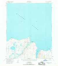
1950 Map of Kotzebue A-2
USGS Topo · Published 1968About this map
Deering sits at the edge of Kotzebu Sound on the northern coast of the Seward Peninsula, appearing here as it was surveyed in the early 1950s. The settlement is positioned on a spit between the sound and the mouth of the Inmachuck River, a waterway that flows north from the interior uplands. This topographic study reveals the infrastructure of a coastal Alaskan outpost, including a prominent Landing Strip and a Light at Cape Deceit. To the west, the coastline is marked by Toawlevic Pt, while the eastern side of the sheet is dominated by the tidal expanse of Kugruk Lagoon. The landscape is a complex network of wetlands and small drainages, such as Smith Creek, where the low elevation of the coastal plain meets the rising topography of the surrounding hills.
Find a feature on this map
10 named features on this map. Tap any name to fly to it.
Don’t see what you’re looking for? This feature index may not catch every label — zoom into the map to look around manually.
Map Details
Editions of this 1950 Kotzebue A-2 Map
3 editions found
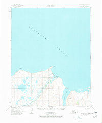
Other maps of this area

1950 · Kotzebue A-1
USGS Topo · 1:63,360

1950 · Bendeleben D-2
USGS Topo · 1:63,360

1950 · Bendeleben
USGS Topo · 1:250,000

1950 · Bendeleben D-3
USGS Topo · 1:63,360

1950 · Bendeleben D-1
USGS Topo · 1:63,360

1950 · Kotzebue A-3
USGS Topo · 1:63,360

1950 · Kotzebue A-2
USGS Topo · 1:63,360

1951 · Bendeleben
USGS Topo · 1:250,000

1951 · Kotzebue
USGS Topo · 1:250,000

1958 · Kotzebue
USGS Topo · 1:250,000