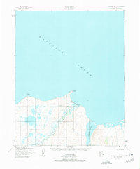
1950 Map of Kotzebue A-2
USGS Topo · Published 1978About this map
Deering sits at the base of Cape Deceit on the southern shores of Kotzebue Sound, serving as a vital coastal outpost at the mouth of the Inmachuk River. This 1950s-era topography, based on aerial photography from 1949 and 1950, documents the interface between the tidal waters of Kugruk Lagoon and the surrounding tundra. The village layout is oriented toward the sea, supported by a nearby Landing Strip and several survey markers including VABM Deering. The landscape is characterized by complex hydrology, with Smith Creek and numerous unnamed ponds and lakes threading through the low-lying terrain west of the main settlement. Points of interest like Toavlevic Pt define the jagged coastline, illustrating the remote geography of the Seward Peninsula's northern edge before later modern developments.
Find a feature on this map
12 named features on this map. Tap any name to fly to it.
Don’t see what you’re looking for? This feature index may not catch every label — zoom into the map to look around manually.
Map Details
Editions of this 1950 Kotzebue A-2 Map
3 editions found
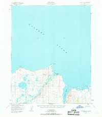
Other maps of this area

1950 · Kotzebue A-1
USGS Topo · 1:63,360

1950 · Bendeleben D-2
USGS Topo · 1:63,360

1950 · Bendeleben
USGS Topo · 1:250,000

1950 · Bendeleben D-3
USGS Topo · 1:63,360

1950 · Bendeleben D-1
USGS Topo · 1:63,360

1950 · Kotzebue A-3
USGS Topo · 1:63,360

1950 · Kotzebue A-2
USGS Topo · 1:63,360

1951 · Bendeleben
USGS Topo · 1:250,000

1951 · Kotzebue
USGS Topo · 1:250,000

1958 · Kotzebue
USGS Topo · 1:250,000