
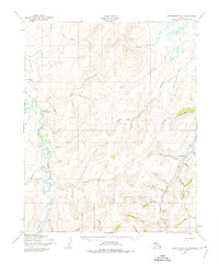
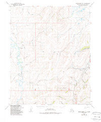
1950 Map of Bendeleben D-1
USGS Topo · Published 1956About this map
The Kogruk River winds through this interior landscape, which was mapped from aerial photography in the early 1950s. The region is defined by a network of drainage systems feeding into larger waterways, including Chicago Creek and Candle Creek. Evidence of early resource extraction is visible in the form of a Coal Mine near the riverbank and a Gold Mine located along the upper reaches of Patterson Creek.
Find a feature on this map
34 named features on this map. Tap any name to fly to it.
Don’t see what you’re looking for? This feature index may not catch every label — zoom into the map to look around manually.
Map Details
Editions of this 1950 Bendeleben D-1 Map
3 editions found
Other maps of this area

1950 · Kotzebue A-1
USGS Topo · 1:63,360

1950 · Bendeleben C-1
USGS Topo · 1:63,360

1950 · Bendeleben C-2
USGS Topo · 1:63,360

1950 · Bendeleben D-2
USGS Topo · 1:63,360

1950 · Bendeleben
USGS Topo · 1:250,000

1950 · Candle C-6
USGS Topo · 1:63,360

1950 · Kotzebue A-2
USGS Topo · 1:63,360

1951 · Candle
USGS Topo · 1:250,000

1951 · Selawik
USGS Topo · 1:250,000

1951 · Bendeleben
USGS Topo · 1:250,000