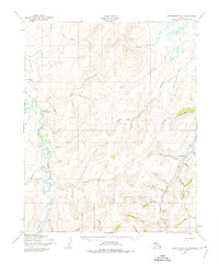
1950 Map of Bendeleben D-1
USGS Topo · Published 1974About this map
The Kuguruk River serves as the central artery for this interior Alaskan landscape, which in the early 1950s was characterized by active resource extraction and remote riverbank settlements. Prospecting and small-scale energy production are evident through the presence of several named industrial sites, most notably the Wallin Coal Mine and additional Coal Mine operations situated along the western riverbanks. These sites are linked to the surrounding wilderness by a designated Tractor Trail that winds through the northern drainage basins.
Find a feature on this map
34 named features on this map. Tap any name to fly to it.
Don’t see what you’re looking for? This feature index may not catch every label — zoom into the map to look around manually.
Map Details
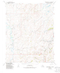
Editions of this 1950 Bendeleben D-1 Map
3 editions found
Other maps of this area

1950 · Kotzebue A-1
USGS Topo · 1:63,360

1950 · Bendeleben C-1
USGS Topo · 1:63,360

1950 · Bendeleben C-2
USGS Topo · 1:63,360

1950 · Bendeleben D-2
USGS Topo · 1:63,360

1950 · Bendeleben
USGS Topo · 1:250,000

1950 · Bendeleben D-1
USGS Topo · 1:63,360

1950 · Candle C-6
USGS Topo · 1:63,360

1950 · Kotzebue A-2
USGS Topo · 1:63,360

1951 · Candle
USGS Topo · 1:250,000

1951 · Selawik
USGS Topo · 1:250,000