
1951 Map of Selawik D-6
USGS Topo · Published 1957About this map
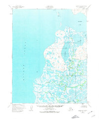
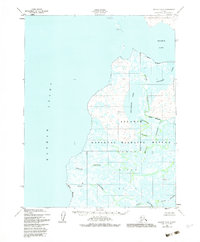
The Kobuk River Delta dominates this 1951 aerial study, revealing a complex labyrinth of shifting watercourses and tundra lakes on the edge of Hotham Inlet. This landscape, mapped by the Army Map Service, shows the intricate branching of the Riley Channel as it weaves through the low-lying wetland terrain. The map records a solitary Cabin along the southern banks, a vital marker of human presence in an environment defined by seasonal ice and river flow. Land navigation is guided by triangulation stations such as VABM 135 Center and VABM 15 Riley, which provide the only fixed points of elevation in a region characterized by its ever-changing silt and water patterns. This survey captures the delta's configuration before modern shifts in Arctic hydrology altered these traditional drainage paths.
Find a feature on this map
6 named features on this map. Tap any name to fly to it.
Don’t see what you’re looking for? This feature index may not catch every label — zoom into the map to look around manually.
Map Details
Editions of this 1951 Selawik D-6 Map
3 editions found
Other maps of this area

1951 · Baird Mountains
USGS Topo · 1:250,000

1951 · Selawik
USGS Topo · 1:250,000

1951 · Noatak
USGS Topo · 1:250,000

1951 · Kotzebue
USGS Topo · 1:250,000

1951 · Kotzebue D-1
USGS Topo · 1:63,360

1951 · Selawik C-6
USGS Topo · 1:63,360
1951 · Kotzebue C-1
USGS Topo · 1:63,360

1952 · Selawik D-6
USGS Topo · 1:63,360

1955 · Noatak
USGS Topo · 1:250,000

1955 · Selawik D-5
USGS Topo · 1:63,360