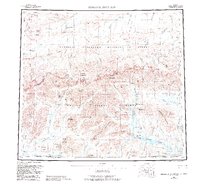
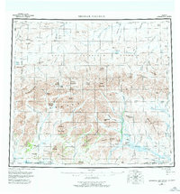
1956 Map of Misheguk Mountain
USGS Topo · Published 1983About this map
The Brooks Range dominates this landscape, where the jagged crests of the De Long Mountains separate the drainage systems of the far north. To the south, the Noatak National Preserve and its surrounding Noatak Wilderness protect a complex network of high peaks like Misheguk Mountain and Copter Peak. The northern reaches fall within the National Petroleum Reserve in Alaska, characterized by the headwaters of the Utukok River and Colville River.
Find a feature on this map
110 named features on this map. Tap any name to fly to it.
Don’t see what you’re looking for? This feature index may not catch every label — zoom into the map to look around manually.
Map Details
Editions of this 1956 Misheguk Mountain Map
7 editions found

Other maps of this area

1951 · De Long Mountains
USGS Topo · 1:250,000

1951 · Baird Mountains
USGS Topo · 1:250,000

1951 · Utukok River
USGS Topo · 1:250,000

1951 · Noatak
USGS Topo · 1:250,000

1951 · Lookout Ridge
USGS Topo · 1:250,000

1951 · Point Lay
USGS Topo · 1:250,000

1951 · Howard Pass
USGS Topo · 1:250,000

1951 · Ambler River
USGS Topo · 1:250,000

1951 · Misheguk Mountain
USGS Topo · 1:250,000

1955 · Noatak
USGS Topo · 1:250,000