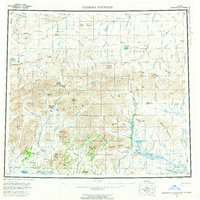
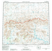
1956 Map of Misheguk Mountain
USGS Topo · Published 1962About this map
Misheguk Mountain stands as a prominent landmark within the northern reaches of the Brooks Range, specifically in the De Long Mountains of Alaska's North Slope. This 1950s era survey documents a landscape of extreme isolation, dominated by the Naval Petroleum Reserve and an extensive network of ephemeral waterways like the Nuka River and the Colville River. Human presence is sparse and functional, indicated only by a remote Cabin near Noluck Lake and a Landing Area situated along the Utukok River. A network of Winter Trails provides the only designated overland passage through the mountain passes. The map identifies several distinctive geological and topographical features, such as the twin peaks of Rabbit Ears and the high elevation of Amaktukvik Pass, offering a look at the region before modern development reached the deep interior of the Arctic.
Find a feature on this map
103 named features on this map. Tap any name to fly to it.
Don’t see what you’re looking for? This feature index may not catch every label — zoom into the map to look around manually.
Map Details
Editions of this 1956 Misheguk Mountain Map
7 editions found

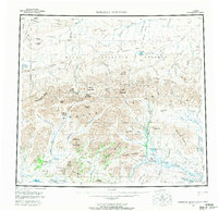
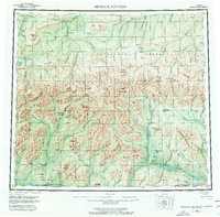
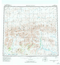
Other maps of this area

1951 · De Long Mountains
USGS Topo · 1:250,000

1951 · Baird Mountains
USGS Topo · 1:250,000

1951 · Utukok River
USGS Topo · 1:250,000

1951 · Noatak
USGS Topo · 1:250,000

1951 · Lookout Ridge
USGS Topo · 1:250,000

1951 · Point Lay
USGS Topo · 1:250,000

1951 · Howard Pass
USGS Topo · 1:250,000

1951 · Ambler River
USGS Topo · 1:250,000

1951 · Misheguk Mountain
USGS Topo · 1:250,000

1955 · Noatak
USGS Topo · 1:250,000