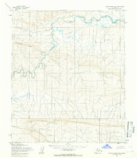
1955 Map of Utukok River A-3
USGS Topo · Published 1966About this map
The Utukok River snakes through the northern reaches of Naval Petroleum Reserve No. 4, defining a landscape of dramatic oxbows and shifting arctic hydrology. This 1955 survey captures the remote wilderness south of the Beaufort Sea, where the terrain rises from the riverbanks toward the prominent Archimedes Ridge in the western sector of the map.
Find a feature on this map
3 named features on this map. Tap any name to fly to it.
Don’t see what you’re looking for? This feature index may not catch every label — zoom into the map to look around manually.
Map Details
Editions of this 1955 Utukok River A-3 Map
2 editions found
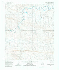
Other maps of this area

1951 · Utukok River
USGS Topo · 1:250,000

1951 · Misheguk Mountain
USGS Topo · 1:250,000
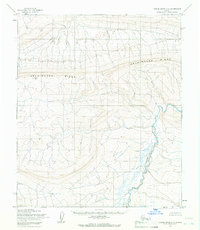
1955 · Utukok River A-4
USGS Topo · 1:63,360
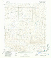
1955 · Utukok River B-3
USGS Topo · 1:63,360
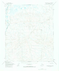
1955 · Utukok River B-4
USGS Topo · 1:63,360

1956 · Misheguk Mountain
USGS Topo · 1:250,000

1956 · Utukok River
USGS Topo · 1:250,000

1965 · Utukok River
USGS Topo · 1:250,000
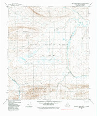
1984 · Misheguk Mountain D-3
USGS Topo · 1:63,360
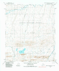
1984 · Misheguk Mountain D-2
USGS Topo · 1:63,360