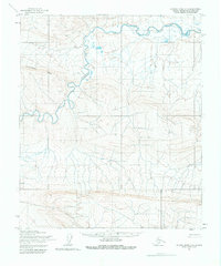
1955 Map of Utukok River A-3
USGS Topo · Published 1980About this map
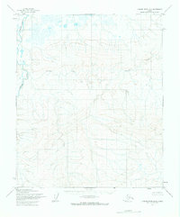
The Utukok River meanders through this portion of the North Slope, revealing a landscape defined by its remote hydrology and topographic relief. This 1955 survey, conducted within the boundaries of the National Petroleum Reserve in Alaska, documents the sinuous path of the river as it cuts through the arctic tundra. High ground is marked by Archimedes Ridge in the northwest, while a singular point labeled Cache suggests the minimal human presence or logistical staging typical of mid-century exploration in this region. The map was produced using photogrammetric methods from aerial photographs, reflecting the era's reliance on remote sensing to chart the vast, unsurveyed interior of the Alaska North Slope.
Find a feature on this map
3 named features on this map. Tap any name to fly to it.
Don’t see what you’re looking for? This feature index may not catch every label — zoom into the map to look around manually.
Map Details
Editions of this 1955 Utukok River A-3 Map
2 editions found
Other maps of this area

1951 · Utukok River
USGS Topo · 1:250,000

1951 · Misheguk Mountain
USGS Topo · 1:250,000
1955 · Utukok River A-4
USGS Topo · 1:63,360
1955 · Utukok River A-3
USGS Topo · 1:63,360
1955 · Utukok River B-3
USGS Topo · 1:63,360
1955 · Utukok River B-4
USGS Topo · 1:63,360

1956 · Misheguk Mountain
USGS Topo · 1:250,000

1956 · Utukok River
USGS Topo · 1:250,000

1965 · Utukok River
USGS Topo · 1:250,000
1984 · Misheguk Mountain D-3
USGS Topo · 1:63,360