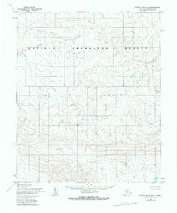
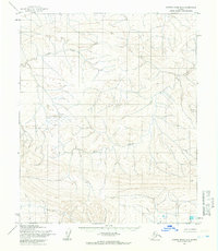
1955 Map of Utukok River B-3
USGS Topo · Published 1983About this map
National Petroleum Reserve In Alaska defines this landscape on the North Slope, documented here through aerial photography taken in the mid-1950s. The terrain is characterized by the meandering paths of Avingak Creek and Elusive Creek, which cut through the tundra and upland areas. In the northeastern portion of the sheet, Omicron Hill stands as a rare named prominence amidst the complex drainage patterns of the Arctic watershed. This 1:63,360 scale survey by the Army Map Service and Geological Survey captures the region before significant modern development, focusing on the natural geography and hydrography of the petroleum reserve. The map's contour intervals reveal the subtle elevations and drainage basins essential for understanding the hydrology of this remote interior territory.
Find a feature on this map
4 named features on this map. Tap any name to fly to it.
Don’t see what you’re looking for? This feature index may not catch every label — zoom into the map to look around manually.
Map Details
Editions of this 1955 Utukok River B-3 Map
2 editions found
Other maps of this area

1951 · Utukok River
USGS Topo · 1:250,000
1955 · Utukok River C-3
USGS Topo · 1:63,360
1955 · Utukok River A-4
USGS Topo · 1:63,360
1955 · Utukok River A-3
USGS Topo · 1:63,360
1955 · Utukok River B-3
USGS Topo · 1:63,360
1955 · Utukok River B-4
USGS Topo · 1:63,360
1955 · Utukok River C-4
USGS Topo · 1:63,360

1956 · Utukok River
USGS Topo · 1:250,000

1965 · Utukok River
USGS Topo · 1:250,000
1984 · Utukok River A-2
USGS Topo · 1:63,360