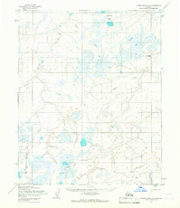
1955 Map of Utukok River D-3
USGS Topo · Published 1966About this map
The Arctic landscape of the North Slope appears as a mosaic of tundra and complex waterways in the mid-1950s. This territory, entirely contained within the former Naval Petroleum Reserve No. 4, reflects a mid-century era of remote resource exploration and military logistics. The presence of the Navy Camp (Abandoned) and the Kaolak (Test Well) point to the specialized activities of the Department of the Navy and the Bureau of Land Management during this period. Navigation across this permafrost terrain was primarily conducted via a Winter Trail that weaves between the Natvakrak Lakes and the braided courses of the Ivisaruk River and Kaolak River. These trails represent essential seasonal transport routes in an era before permanent road infrastructure reached this far north.
Find a feature on this map
8 named features on this map. Tap any name to fly to it.
Don’t see what you’re looking for? This feature index may not catch every label — zoom into the map to look around manually.
Map Details
Editions of this 1955 Utukok River D-3 Map
2 editions found
Other maps of this area

1951 · Utukok River
USGS Topo · 1:250,000

1951 · Wainwright
USGS Topo · 1:250,000

1955 · Wainwright
USGS Topo · 1:250,000
1955 · Utukok River C-3
USGS Topo · 1:63,360
1955 · Utukok River D-4
USGS Topo · 1:63,360

1955 · Wainwright A-2
USGS Topo · 1:63,360
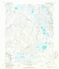
1955 · Utukok River C-4
USGS Topo · 1:63,360
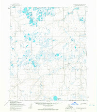
1955 · Wainwright A-3
USGS Topo · 1:63,360
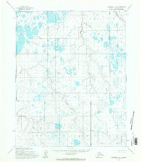
1955 · Wainwright A-4
USGS Topo · 1:63,360

1956 · Utukok River
USGS Topo · 1:250,000