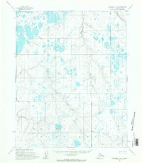
1955 Map of Wainwright A-4
USGS Topo · Published 1971About this map
The Kasegaluk Lagoon dominates the northwestern corner of this 1955 survey, highlighting the coastal hydrology of the North Slope within the former Naval Petroleum Reserve No. 4. Flowing through the center and south, the Omorakvik River and Tunalik River drain toward the Kuk River, creating a complex network of wetlands and thaw lakes. This remote landscape shows early traces of human presence and infrastructure, marked by a Radio Tower and the specialized Nevat-Alerk Az landmark. A prominent Tractor Trail cuts across the southern terrain, providing a rare indicator of mid-century overland transport in an area where frozen waterways often served as the primary routes for transit and exploration.
Find a feature on this map
12 named features on this map. Tap any name to fly to it.
Don’t see what you’re looking for? This feature index may not catch every label — zoom into the map to look around manually.
Map Details
Editions of this 1955 Wainwright A-4 Map
This is the sole edition of this map. No revisions or reprints were ever made.
Other maps of this area

1951 · Utukok River
USGS Topo · 1:250,000

1951 · Wainwright
USGS Topo · 1:250,000

1955 · Wainwright
USGS Topo · 1:250,000
1955 · Utukok River D-4
USGS Topo · 1:63,360
1955 · Utukok River D-3
USGS Topo · 1:63,360
1955 · Wainwright A-3
USGS Topo · 1:63,360
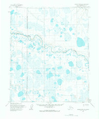
1955 · Utukok River D-5
USGS Topo · 1:63,360
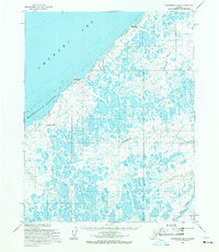
1955 · Wainwright B-3
USGS Topo · 1:63,360
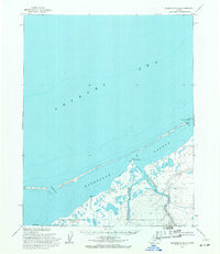
1955 · Wainwright B-4
USGS Topo · 1:63,360
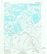
1955 · Wainwright A-5
USGS Topo · 1:63,360