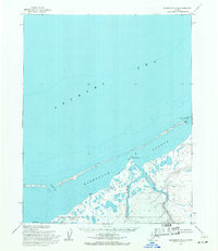
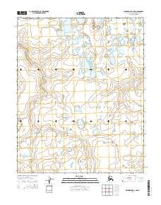
1955 Map of Wainwright B-4
USGS Topo · Published 1971About this map
Kasegaluk Lagoon dominates this coastal landscape, separated from the open Chukchi Sea by a thin, broken ribbon of barrier islands and spits. This mid-1950s survey captures a delicate hydrological environment where the Ongorakvik River and Nokotleek River drain into the sheltered lagoon waters. The presence of a Cabin (ruin) at Nokotleek Point provides a rare sign of human occupancy in a region defined by its isolation and specialized geography. At this time, the entire territory was designated as Naval Petroleum Reserve No. 4, reflecting the strategic importance of the North Slope. The map meticulously documents the navigable breaks in the coastline, such as Pingorarok Pass and Akoliakatat Pass, which were essential for maritime access between the sea and the coastal interior.
Find a feature on this map
9 named features on this map. Tap any name to fly to it.
Don’t see what you’re looking for? This feature index may not catch every label — zoom into the map to look around manually.
Map Details
Editions of this 1955 Wainwright B-4 Map
2 editions found
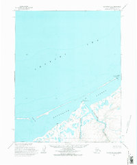
Other maps of this area

1951 · Wainwright
USGS Topo · 1:250,000

1955 · Wainwright
USGS Topo · 1:250,000
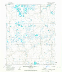
1955 · Wainwright A-3
USGS Topo · 1:63,360
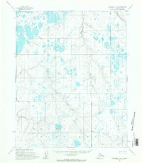
1955 · Wainwright A-4
USGS Topo · 1:63,360
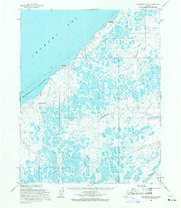
1955 · Wainwright B-3
USGS Topo · 1:63,360
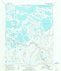
1955 · Wainwright A-5
USGS Topo · 1:63,360
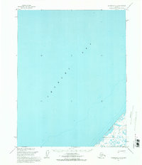
1955 · Wainwright C-3
USGS Topo · 1:63,360
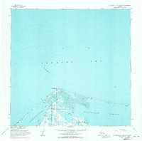
1955 · Wainwright B-5 and B-6
USGS Topo · 1:63,360

1964 · Wainwright
USGS Topo · 1:250,000
2014 · Wainwright A-3 NW
USGS Topo · 1:25,000