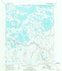
1955 Map of Wainwright A-5
USGS Topo · Published 1971About this map
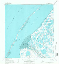
The Naval Petroleum Reserve No 4 Boundary (Indefinite) slices through this remote North Slope landscape, defining a region of strategic interest during the mid-1950s. The terrain is a complex network of thermokarst lakes and coastal wetlands, dominated by the massive Sikolik Lake and the meandering Tunalik River. Along the northern edge, the transition from tundra to sea is marked by Kasegaluk Lagoon and the sheltered waters of Avak Inlet near Avak Point. This survey captures the geography of the Arctic coastal plain before significant industrial footprints, showing only a solitary Tractor Trail cutting across the southern reaches. The intricate drainage patterns of the Avak River illustrate the seasonally fluid nature of this permafrost environment, where land and water frequently intermingle across unsurveyed and unmarked boundaries.
Find a feature on this map
10 named features on this map. Tap any name to fly to it.
Don’t see what you’re looking for? This feature index may not catch every label — zoom into the map to look around manually.
Map Details
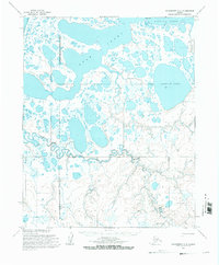
Editions of this 1955 Wainwright A-5 Map
2 editions found
Other maps of this area

1951 · Utukok River
USGS Topo · 1:250,000

1951 · Wainwright
USGS Topo · 1:250,000

1951 · Point Lay
USGS Topo · 1:250,000

1955 · Wainwright
USGS Topo · 1:250,000

1955 · Point Lay
USGS Topo · 1:250,000
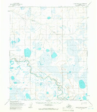
1955 · Utukok River D-4
USGS Topo · 1:63,360
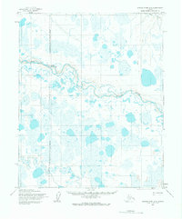
1955 · Utukok River D-5
USGS Topo · 1:63,360
1955 · Wainwright A-6 and A-7
USGS Topo · 1:63,360
1955 · Wainwright A-4
USGS Topo · 1:63,360
1955 · Point Lay D-1
USGS Topo · 1:63,360