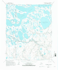
1955 Map of Wainwright A-5
USGS Topo · Published 1971About this map
The Arctic coastal plain on the North Slope of Alaska is defined here by a dense network of thaw lakes and meandering watercourses as they appeared in the mid-1950s. The landscape transitions from the brackish waters of Kasegaluk Lagoon and Avak Inlet to an interior dominated by significant freshwater bodies like Sikolik Lake. The western portion of the map is marked by the Naval Petroleum Reserve No 4 Boundary (Indefinite), signifying the strategic resource management of the era.
Find a feature on this map
10 named features on this map. Tap any name to fly to it.
Don’t see what you’re looking for? This feature index may not catch every label — zoom into the map to look around manually.
Map Details
Editions of this 1955 Wainwright A-5 Map
2 editions found
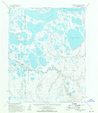
Other maps of this area

1951 · Utukok River
USGS Topo · 1:250,000

1951 · Wainwright
USGS Topo · 1:250,000

1951 · Point Lay
USGS Topo · 1:250,000

1955 · Wainwright
USGS Topo · 1:250,000

1955 · Point Lay
USGS Topo · 1:250,000
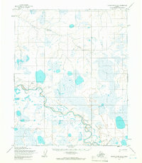
1955 · Utukok River D-4
USGS Topo · 1:63,360
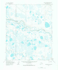
1955 · Utukok River D-5
USGS Topo · 1:63,360
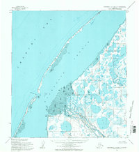
1955 · Wainwright A-6 and A-7
USGS Topo · 1:63,360
1955 · Wainwright A-4
USGS Topo · 1:63,360
1955 · Point Lay D-1
USGS Topo · 1:63,360