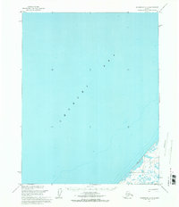
1955 Map of Wainwright C-3
USGS Topo · Published 1971About this map
The Chukchi Sea dominates this mid-1950s survey of the Alaskan coast, covering the vast majority of the quadrangle with soundings and depth curves. This environment reflects the isolation and logistical challenges of the North Slope during the Cold War era, as the region was designated within Naval Petroleum Reserve No. 4. Along the narrow sliver of coastline, the Winter Trail provides the only recorded evidence of overland movement, tracing the shoreline where land and frozen sea met for much of the year. This specific path was critical for winter travel when the permafrost and shore ice became traversable, serving as a lifeline between remote coastal points before more modern infrastructure arrived.
Find a feature on this map
2 named features on this map. Tap any name to fly to it.
Don’t see what you’re looking for? This feature index may not catch every label — zoom into the map to look around manually.
Map Details
Editions of this 1955 Wainwright C-3 Map
This is the sole edition of this map. No revisions or reprints were ever made.
Other maps of this area

1951 · Wainwright
USGS Topo · 1:250,000

1955 · Wainwright
USGS Topo · 1:250,000
1955 · Wainwright D-2
USGS Topo · 1:63,360
1955 · Wainwright C-2
USGS Topo · 1:63,360
1955 · Wainwright B-2
USGS Topo · 1:63,360
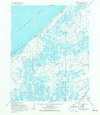
1955 · Wainwright B-3
USGS Topo · 1:63,360
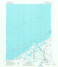
1955 · Wainwright B-4
USGS Topo · 1:63,360
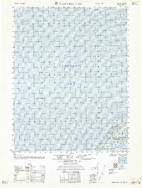
1962 · Wainwright D-2
USGS Topo · 1:50,000

1964 · Wainwright
USGS Topo · 1:250,000
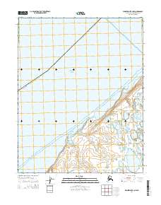
2014 · Wainwright B-3 NW
USGS Topo · 1:25,000