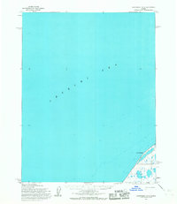
1955 Map of Wainwright D-2
USGS Topo · Published 1967About this map
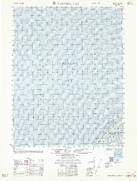
The vast expanse of the Chukchi Sea dominates this mid-century maritime study, which was mapped by the Army Map Service using aerial photography. The coastline is defined by the sharp protrusion of Point Belcher, a significant geographical landmark on the North Slope. Because the entire area lies within Naval Petroleum Reserve No. 4, the map serves as a record of a region under federal maritime and energy oversight during the Cold War era. A solitary Winter Trail parallels the shoreline, suggesting the seasonal transit routes necessary for traversing this coastal environment before modern infrastructure. The inclusion of hydrographic data from the U.S. Coast and Geodetic Survey provides depth soundings and offshore details essential for Arctic navigation during this period.
Find a feature on this map
3 named features on this map. Tap any name to fly to it.
Don’t see what you’re looking for? This feature index may not catch every label — zoom into the map to look around manually.
Map Details
Editions of this 1955 Wainwright D-2 Map
This is the sole edition of this map. No revisions or reprints were ever made.
Other maps of this area

1951 · Wainwright
USGS Topo · 1:250,000

1955 · Wainwright
USGS Topo · 1:250,000

1955 · Wainwright C-1
USGS Topo · 1:63,360
1955 · Wainwright C-2
USGS Topo · 1:63,360
1955 · Wainwright D-1
USGS Topo · 1:63,360
1955 · Wainwright C-3
USGS Topo · 1:63,360
1962 · Wainwright D-2
USGS Topo · 1:50,000

1964 · Wainwright
USGS Topo · 1:250,000
2014 · Wainwright D-1 SW
USGS Topo · 1:25,000
2014 · Wainwright C-1 NW
USGS Topo · 1:25,000