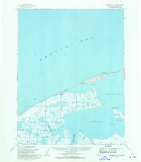
1955 Map of Wainwright D-1
USGS Topo · Published 1971About this map
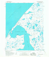
Pingasagruk and Atanik stand as silent coastal markers on this mid-century survey of the North Slope, where the land meets the Chukchi Sea. The landscape is dominated by a complex network of lagoons and wetlands, including Kugrua Bay and Peard Bay, separated from the open sea by narrow barrier islands. A solitary Winter Trail tracks along the coastline, connecting these coastal points to the inland reaches of the Igklo River and Kugrua River. This 1955 survey provides a detailed look at the Arctic shoreline before modern infrastructure, capturing the coastal geography of Asiniak Point and the shifting waters around a Possible shoal. Much of this territory falls within the Naval Petroleum Reserve No. 4, emphasizing its status as a managed wilderness at the height of the Cold War era.
Find a feature on this map
14 named features on this map. Tap any name to fly to it.
Don’t see what you’re looking for? This feature index may not catch every label — zoom into the map to look around manually.
Map Details
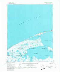
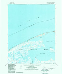
Editions of this 1955 Wainwright D-1 Map
3 editions found
Other maps of this area

1951 · Meade River
USGS Topo · 1:250,000

1951 · Wainwright
USGS Topo · 1:250,000

1955 · Wainwright
USGS Topo · 1:250,000

1955 · Meade River
USGS Topo · 1:250,000

1955 · Wainwright C-1
USGS Topo · 1:63,360

1955 · Meade River D-5
USGS Topo · 1:63,360

1955 · Meade River C-5
USGS Topo · 1:63,360
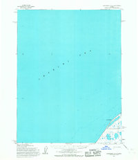
1955 · Wainwright D-2
USGS Topo · 1:63,360
1955 · Wainwright C-2
USGS Topo · 1:63,360
1962 · Wainwright D-2
USGS Topo · 1:50,000