
1955 Map of Meade River D-5
USGS Topo · Published 1967About this map
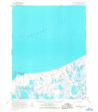
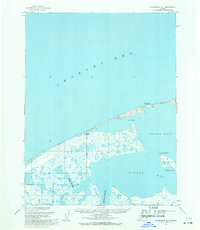
Point Franklin extends into the Chukchi Sea, marking a significant navigational landmark along the Arctic coast. This mid-1950s record identifies the low-lying Seahorse Islands and the protected waters of Peard Bay, reflecting the maritime focus of the era. On the spit near the point, Tower Seahorse stands as a rare man-made structure in a landscape otherwise defined by shifting sands and lagoons.
Find a feature on this map
16 named features on this map. Tap any name to fly to it.
Don’t see what you’re looking for? This feature index may not catch every label — zoom into the map to look around manually.
Map Details
Editions of this 1955 Meade River D-5 Map
This is the sole edition of this map. No revisions or reprints were ever made.
Other maps of this area

1951 · Meade River
USGS Topo · 1:250,000

1951 · Wainwright
USGS Topo · 1:250,000

1955 · Wainwright
USGS Topo · 1:250,000

1955 · Meade River
USGS Topo · 1:250,000

1955 · Wainwright C-1
USGS Topo · 1:63,360

1955 · Meade River C-5
USGS Topo · 1:63,360
1955 · Meade River D-4
USGS Topo · 1:63,360

1955 · Meade River C-4
USGS Topo · 1:63,360
1955 · Wainwright D-1
USGS Topo · 1:63,360
1962 · Meade River C-4
USGS Topo · 1:50,000