
1955 Map of Meade River C-4
USGS Topo · Published 1967About this map
National Petroleum Reserve No. 4 encompasses this entire landscape on the North Slope, revealing a complex network of thaw lakes and meandering waterways typical of the Arctic coastal plain in the mid-1950s. The hydrography is dominated by the Inaru River, which winds across the northern sections, and Kucheak Creek in the south. These water bodies are interspersed with numerous unnamed basins and the prominent Lake Tuvak near the western boundary. A single Winter Trail provides the only mapped evidence of human transit through this remote region, highlighting the seasonal nature of travel across the permafrost. Surveyed by the Army Map Service and published by the Geological Survey, the map captures a moment when this area was primarily defined by its hydrological patterns and its status as a federal petroleum reserve before modern development altered the northern landscape.
Find a feature on this map
11 named features on this map. Tap any name to fly to it.
Don’t see what you’re looking for? This feature index may not catch every label — zoom into the map to look around manually.
Map Details
Editions of this 1955 Meade River C-4 Map
This is the sole edition of this map. No revisions or reprints were ever made.
Other maps of this area

1951 · Meade River
USGS Topo · 1:250,000

1955 · Meade River
USGS Topo · 1:250,000

1955 · Meade River B-3
USGS Topo · 1:63,360

1955 · Meade River D-5
USGS Topo · 1:63,360

1955 · Meade River C-5
USGS Topo · 1:63,360

1955 · Meade River C-3
USGS Topo · 1:63,360

1955 · Meade River B-4
USGS Topo · 1:63,360
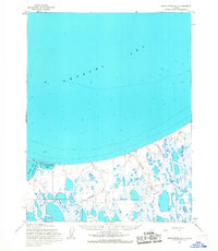
1955 · Meade River D-4
USGS Topo · 1:63,360

1955 · Meade River D-3
USGS Topo · 1:63,360
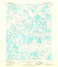
1955 · Meade River B-5
USGS Topo · 1:63,360