
1955 Map of Meade River B-4
USGS Topo · Published 1967About this map
The Arctic coastal plain of the North Slope appears as a labyrinth of thaw lakes and wetlands in this mid-century survey. Located entirely within Naval Petroleum Reserve No. 4, the landscape is defined by the meandering course of the Nigisaktuvik River, which cuts through a dense concentration of water bodies. Small, isolated markers like Adem, Gali, and Tesh suggest localized points of activity or observation within this remote wilderness. The presence of a Winter Trail highlights the seasonal nature of travel across the tundra before permanent infrastructure reached this part of Alaska. These named locations, including Kaol and Avik, provide rare points of reference for researchers and genealogists studying early exploration and resource management in the region.
Find a feature on this map
13 named features on this map. Tap any name to fly to it.
Don’t see what you’re looking for? This feature index may not catch every label — zoom into the map to look around manually.
Map Details
Editions of this 1955 Meade River B-4 Map
This is the sole edition of this map. No revisions or reprints were ever made.
Other maps of this area

1951 · Meade River
USGS Topo · 1:250,000

1955 · Meade River
USGS Topo · 1:250,000

1955 · Meade River A-3
USGS Topo · 1:63,360

1955 · Meade River B-3
USGS Topo · 1:63,360
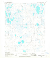
1955 · Meade River A-4
USGS Topo · 1:63,360
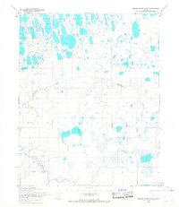
1955 · Meade River A-5
USGS Topo · 1:63,360

1955 · Meade River C-5
USGS Topo · 1:63,360

1955 · Meade River C-3
USGS Topo · 1:63,360

1955 · Meade River C-4
USGS Topo · 1:63,360
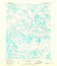
1955 · Meade River B-5
USGS Topo · 1:63,360