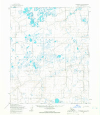
1955 Map of Wainwright A-3
USGS Topo · Published 1966About this map
The Ivisaruk River carves a winding path through this portion of Naval Petroleum Reserve No. 4, a landscape defined by an intricate network of thaw lakes and coastal plain drainage. The presence of the Nokotlek River and the expansive Natvakrak Lakes illustrate the saturated, permafrost-driven geography of the North Slope during the mid-1950s. While seemingly remote, the region was actively utilized and monitored, as evidenced by the long Tractor Trail cutting across the southern terrain. This infrastructure speaks to the era of early oil exploration and military oversight within the reserve, where overland transport relied on specialized vehicles capable of navigating the delicate tundra and frozen waterways during the brief summer thaw and long arctic winters.
Find a feature on this map
10 named features on this map. Tap any name to fly to it.
Don’t see what you’re looking for? This feature index may not catch every label — zoom into the map to look around manually.
Map Details
Editions of this 1955 Wainwright A-3 Map
This is the sole edition of this map. No revisions or reprints were ever made.
Other maps of this area

1951 · Utukok River
USGS Topo · 1:250,000

1951 · Wainwright
USGS Topo · 1:250,000

1955 · Wainwright
USGS Topo · 1:250,000
1955 · Utukok River D-4
USGS Topo · 1:63,360

1955 · Wainwright A-2
USGS Topo · 1:63,360
1955 · Utukok River D-3
USGS Topo · 1:63,360
1955 · Wainwright A-4
USGS Topo · 1:63,360
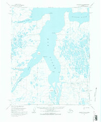
1955 · Wainwright B-2
USGS Topo · 1:63,360
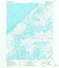
1955 · Wainwright B-3
USGS Topo · 1:63,360
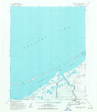
1955 · Wainwright B-4
USGS Topo · 1:63,360