
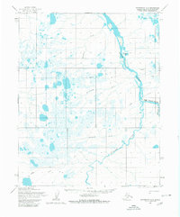
1955 Map of Wainwright A-2
USGS Topo · Published 1966About this map
The Kuk River and its major tributaries, the Kaolak River and Avalik River, dominate this landscape within the boundaries of Naval Petroleum Reserve No. 4. This 1955 survey documents a remote Arctic environment defined by its complex drainage network, including Ikpitchuak Creek, Katrikiovak Creek, and Adrigigon Creek. Several former sites of human activity appear along the riverbanks and trails, most notably the locations of Anaktuk and Kangik. Farther south, near the landmark Atik, the presence of Jamesway Huts reflects the mid-century period of exploration and resource survey. Transport across this terrain was facilitated by seasonal routes, including a Winter Trail and several Tractor Trails that connected these remote settlements and survey outposts.
Find a feature on this map
15 named features on this map. Tap any name to fly to it.
Don’t see what you’re looking for? This feature index may not catch every label — zoom into the map to look around manually.
Map Details
Editions of this 1955 Wainwright A-2 Map
2 editions found
Other maps of this area

1951 · Utukok River
USGS Topo · 1:250,000

1951 · Wainwright
USGS Topo · 1:250,000

1955 · Wainwright
USGS Topo · 1:250,000
1955 · Utukok River D-3
USGS Topo · 1:63,360

1955 · Wainwright B-1
USGS Topo · 1:63,360
1955 · Wainwright A-3
USGS Topo · 1:63,360
1955 · Wainwright B-2
USGS Topo · 1:63,360
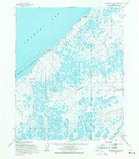
1955 · Wainwright B-3
USGS Topo · 1:63,360
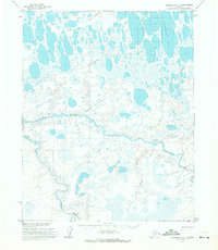
1955 · Wainwright A-1
USGS Topo · 1:63,360

1956 · Utukok River
USGS Topo · 1:250,000