
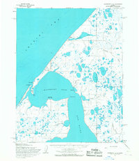
1955 Map of Wainwright B-1
USGS Topo · Published 1966About this map
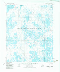
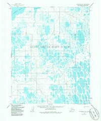
Naval Petroleum Reserve No. 4 encompasses this entire expanse of the North Slope, documented during a 1955 aerial survey. The landscape is defined by an intricate network of wandering waterways and countless thaw lakes, characteristic of the Arctic coastal plain. Major drainage systems including the Kungok River, the Maguriak River, and the Mikigealiak River dominate the northern and central sections of the sheet. To the south, the Omalik River and Irak Creek meander through the tundra toward Takrak Lake. Human presence is notably sparse, marked only by the seasonal Winter Trail crossing the southwest corner. The absence of permanent settlements or structures reflects the administrative status of this territory during the mid-20th century as a federal petroleum reserve, prior to the major oil discoveries and infrastructure developments that would later transform the region.
Find a feature on this map
9 named features on this map. Tap any name to fly to it.
Don’t see what you’re looking for? This feature index may not catch every label — zoom into the map to look around manually.
Map Details
Editions of this 1955 Wainwright B-1 Map
3 editions found
Other maps of this area

1951 · Meade River
USGS Topo · 1:250,000

1951 · Wainwright
USGS Topo · 1:250,000

1955 · Wainwright
USGS Topo · 1:250,000

1955 · Wainwright A-2
USGS Topo · 1:63,360

1955 · Meade River
USGS Topo · 1:250,000

1955 · Wainwright C-1
USGS Topo · 1:63,360
1955 · Meade River A-5
USGS Topo · 1:63,360

1955 · Meade River C-5
USGS Topo · 1:63,360
1955 · Meade River B-5
USGS Topo · 1:63,360
1955 · Wainwright C-2
USGS Topo · 1:63,360