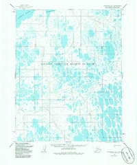
1955 Map of Wainwright B-1
USGS Topo · Published 1986About this map
The National Petroleum Reserve in Alaska dominates this 1950s landscape, illustrating a vast hydrological network of the North Slope before later industrial intensification. The terrain is defined by a dense concentration of thaw lakes and meandering waterways, including the north-flowing Kungok River and the Mayuriak River. The movement across this water-saturated tundra is marked by a significant Winter Trail, which cuts across the central portion of the sheet near Irak Creek, indicating the historical reliance on seasonal routes for cross-country travel in the Arctic. Smaller drainage systems like Kolipsun Creek and the Mikigealiak River feed into the larger river basins, while Takrak Lake stands out as a prominent landmark in the southeast. This survey, based on 1955 aerial photography, captures the region's character as an expansive wilderness designated for federal resource management.
Find a feature on this map
11 named features on this map. Tap any name to fly to it.
Don’t see what you’re looking for? This feature index may not catch every label — zoom into the map to look around manually.
Map Details
Editions of this 1955 Wainwright B-1 Map
3 editions found
Other maps of this area

1951 · Meade River
USGS Topo · 1:250,000

1951 · Wainwright
USGS Topo · 1:250,000

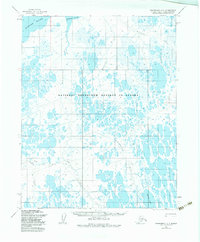
1955 · Wainwright
USGS Topo · 1:250,000

1955 · Wainwright A-2
USGS Topo · 1:63,360

1955 · Wainwright B-1
USGS Topo · 1:63,360

1955 · Meade River
USGS Topo · 1:250,000

1955 · Wainwright C-1
USGS Topo · 1:63,360
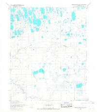
1955 · Meade River A-5
USGS Topo · 1:63,360

1955 · Meade River C-5
USGS Topo · 1:63,360
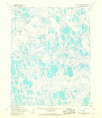
1955 · Meade River B-5
USGS Topo · 1:63,360