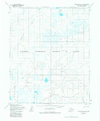
1955 Map of Utukok River D-3
USGS Topo · Published 1982About this map
National Petroleum Reserve in Alaska dominates this 1955 topographical survey, capturing a remote landscape defined by Arctic hydrology and early energy exploration. The terrain is characterized by the meandering Ivisaruk River and the complex drainage of the Kaolak River in the south. A significant marker of mid-century industrial activity is noted at the Kaolak (Test Well) near the eastern boundary, signifying the strategic importance of the North Slope during the Cold War era. The area is intersected by a Winter Trail, reflecting the seasonal transport patterns necessary for navigating this northern environment. The concentration of the Natvakrak Lakes in the northeast provides a glimpse into the distinctive permafrost-influenced lake systems that shape the North Slope Borough.
Find a feature on this map
6 named features on this map. Tap any name to fly to it.
Don’t see what you’re looking for? This feature index may not catch every label — zoom into the map to look around manually.
Map Details
Editions of this 1955 Utukok River D-3 Map
2 editions found
Other maps of this area

1951 · Utukok River
USGS Topo · 1:250,000

1951 · Wainwright
USGS Topo · 1:250,000

1955 · Wainwright
USGS Topo · 1:250,000
1955 · Utukok River C-3
USGS Topo · 1:63,360
1955 · Utukok River D-4
USGS Topo · 1:63,360

1955 · Wainwright A-2
USGS Topo · 1:63,360
1955 · Utukok River D-3
USGS Topo · 1:63,360
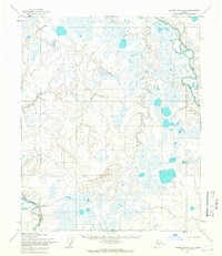
1955 · Utukok River C-4
USGS Topo · 1:63,360
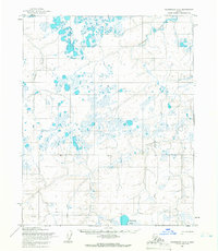
1955 · Wainwright A-3
USGS Topo · 1:63,360
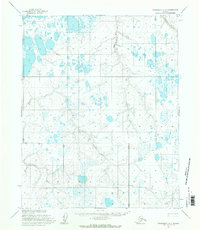
1955 · Wainwright A-4
USGS Topo · 1:63,360