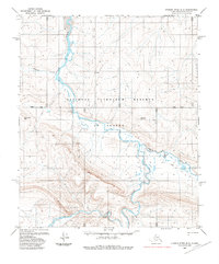
1985 Map of Utukok River B-2
USGS Topo · Published 1985About this map
The Utukok River snakes through the heart of the National Petroleum Reserve in Alaska, a landscape defined by its braided watercourses and remote topography in the mid-1980s. This survey illustrates a complex network of seasonal transport, where the Tractor Trail and Winter Trail provide the primary means of traversing the North Slope's tundra. These paths follow the contours of the land, connecting the drainages of Carbon Creek and Elusive Creek. Prominent landmarks such as Eskimo Hill and Omicron Hill rise above the alluvial plains, serving as essential points of orientation in a region largely devoid of permanent settlements. The mapping reflects a period of specialized industrial and scientific interest in the Arctic, with the entire quadrangle falling within the federal petroleum reserve established for its resource potential.
Find a feature on this map
14 named features on this map. Tap any name to fly to it.
Don’t see what you’re looking for? This feature index may not catch every label — zoom into the map to look around manually.
Map Details
Editions of this 1985 Utukok River B-2 Map
This is the sole edition of this map. No revisions or reprints were ever made.
Other maps of this area

1951 · Utukok River
USGS Topo · 1:250,000
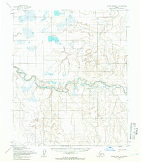
1955 · Utukok River C-3
USGS Topo · 1:63,360
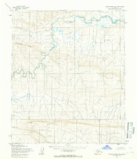
1955 · Utukok River A-3
USGS Topo · 1:63,360
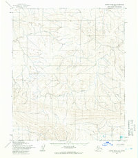
1955 · Utukok River B-3
USGS Topo · 1:63,360

1956 · Utukok River
USGS Topo · 1:250,000

1965 · Utukok River
USGS Topo · 1:250,000
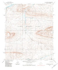
1984 · Utukok River A-2
USGS Topo · 1:63,360
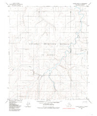
1984 · Utukok River C-1
USGS Topo · 1:63,360
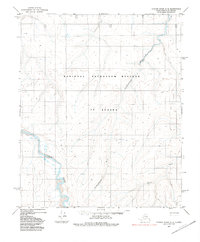
1984 · Utukok River C-2
USGS Topo · 1:63,360
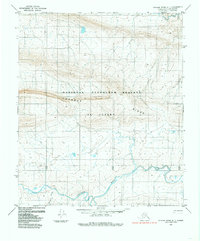
1984 · Utukok River A-1
USGS Topo · 1:63,360