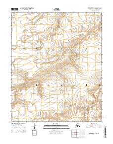
2014 Map of Utukok River D-3 SE
USGS Topo · Published 2014About this map
Kaolak River winds through the southeastern corner of this Arctic coastal plain landscape, providing the primary hydrological reference point for the region. The terrain is characterized by the expansive Public Land Survey System grid, which divides the North Slope Borough into townships such as t6n r34w, t6n r33w, t5n r34w, and t5n r33w. These survey lines represent the fundamental organization of this remote territory, where elevation changes are subtle and watercourses like the Kaolak dictate the natural movement across the tundra. This survey provides a precise look at the drainage patterns and land divisions in a corner of Alaska where human markers are defined almost entirely by the mapping of the natural environment and administrative boundaries.
Find a feature on this map
5 named features on this map. Tap any name to fly to it.
Don’t see what you’re looking for? This feature index may not catch every label — zoom into the map to look around manually.
Map Details
Editions of this 2014 Utukok River D-3 SE Map
This is the sole edition of this map. No revisions or reprints were ever made.
Other maps of this area

1951 · Utukok River
USGS Topo · 1:250,000
1955 · Utukok River C-3
USGS Topo · 1:63,360
1955 · Utukok River D-3
USGS Topo · 1:63,360

1956 · Utukok River
USGS Topo · 1:250,000

1965 · Utukok River
USGS Topo · 1:250,000
1984 · Utukok River D-2
USGS Topo · 1:63,360
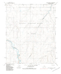
1984 · Utukok River C-2
USGS Topo · 1:63,360
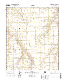
2014 · Utukok River C-2 NW
USGS Topo · 1:25,000
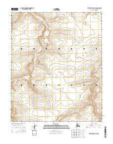
2014 · Utukok River D-2 SW
USGS Topo · 1:25,000
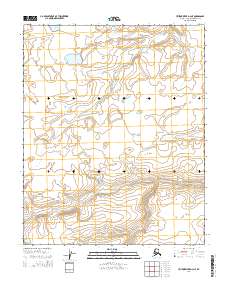
2014 · Utukok River D-3 NE
USGS Topo · 1:25,000