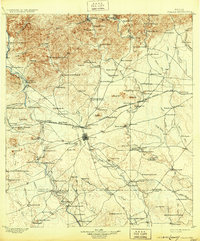
1899 Map of Uvalde
USGS Topo · Published 1931About this map
Uvalde serves as the central hub of this South Texas landscape, where the confluence of the Leona River and Cooks Slough meets a expanding rail network. At the time of this 1896 survey, the Southern Pacific and the Galveston Harrisburg and San Antonio railroads bisect the region, connecting isolated cattle operations like the Francis Smith Ranch and Crane Ranch to wider markets. A unique glimpse into the local nineteenth-century economy is visible through specialized labels like Myricks Upper Apiary and Myricks Lower Apiary, alongside the northern Silver Mine.
Find a feature on this map
127 named features on this map. Tap any name to fly to it.
Don’t see what you’re looking for? This feature index may not catch every label — zoom into the map to look around manually.
Map Details
Editions of this 1899 Uvalde Map
This is the sole edition of this map. No revisions or reprints were ever made.
Other maps of this area
1893 · Nueces
USGS Topo · 1:125,000
1896 · Nueces
USGS Topo · 1:125,000
1896 · Brackett
USGS Topo · 1:125,000
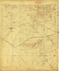
1897 · Brackett
USGS Topo · 1:125,000
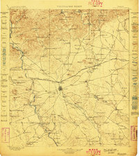
1898 · Uvalde
USGS Topo · 1:125,000
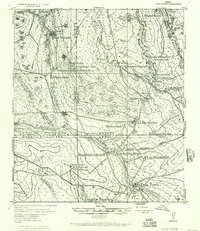
1928 · Frio Town
USGS Topo · 1:62,500
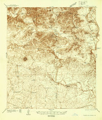
1938 · Turkey Mountain
USGS Topo · 1:48,000
1939 · La Pryor
USGS Topo · 1:62,500
1940 · Chacon Creek
USGS Topo · 1:62,500
1942 · Divot
USGS Topo · 1:62,500