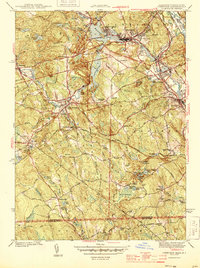
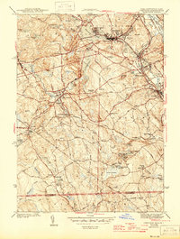
1944 Map of Uxbridge
USGS Topo · Published 1944About this map
The Mumford River and Blackstone River define the industrial and topographical character of this southern Massachusetts and northern Rhode Island border region during the early 1940s. Centered on the textile and manufacturing centers of Whitinsville and Uxbridge, the landscape reveals a dense network of reservoirs and ponds—including Whitins Pond, Lackey Pond, and Reservoir No. 2—which historically powered the mills of the Blackstone Valley. The Blackstone Canal and the New York New Haven and Hartford RR track the valley floor, illustrating the vital transportation corridors that linked these mill towns to the larger New England economy. Beyond the urban centers, the terrain rises into the hills of Douglas and South Sutton, where numerous family and community burial grounds like Evergreen Cem and Boerum Cem are scattered among rural farmsteads. Distinctive landmarks such as the Halfway House and the Whitinsville Country Club reflect the established social and commercial life of the era.
Find a feature on this map
87 named features on this map. Tap any name to fly to it.
Don’t see what you’re looking for? This feature index may not catch every label — zoom into the map to look around manually.
Map Details
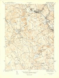
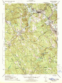
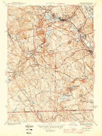
Editions of this 1944 Uxbridge Map
5 editions found
Other maps of this area

1886 · Blackstone
USGS Topo · 1:62,500

1889 · Blackstone
USGS Topo · 1:62,500

1889 · Webster
USGS Topo · 1:62,500

1889 · Putnam
USGS Topo · 1:62,500

1889 · Burrillville
USGS Topo · 1:62,500

1892 · Webster
USGS Topo · 1:62,500

1893 · Putnam
USGS Topo · 1:62,500

1893 · Blackstone
USGS Topo · 1:62,500

1894 · Burrillville
USGS Topo · 1:62,500

1900 · Blackstone
USGS Topo · 1:62,500