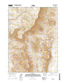
2014 Map of V Lake
USGS Topo · Published 2014About this map
Steens Mtn dominates this high-elevation landscape in Harney County, where steep drainages and water management features define the local geography. The map shows a network of seasonal water sources and livestock infrastructure, including Bingo Reservoir and Skull Cr Reservoir, which are vital for land use in this arid region. To the north, the plateau of Smith Flat sits between deep-cut drainages like Home Cr and Skull Cr. The eastern portion of the quadrangle is marked by significant topographical shifts, featuring Whisky Hill and the deep incision of Bone Canyon. These features, along with names like The Peaks and The Butte, illustrate the complex volcanic and erosional history of the region. Access is limited primarily to rural routes like E Steens Rd, which skirts the eastern edge of the mountain massif.
Find a feature on this map
29 named features on this map. Tap any name to fly to it.
Don’t see what you’re looking for? This feature index may not catch every label — zoom into the map to look around manually.
Map Details
Editions of this 2014 V Lake Map
This is the sole edition of this map. No revisions or reprints were ever made.
Other maps of this area

1955 · Adel
USGS Topo · 1:250,000

1957 · Adel
USGS Topo · 1:250,000

1958 · Adel
USGS Topo · 1:250,000

1962 · Adel
USGS Topo · 1:250,000

1968 · Roaring Springs SE
USGS Topo · 1:24,000

1968 · Alvord Hot Springs
USGS Topo · 1:24,000

1968 · Ankle Creek
USGS Topo · 1:24,000

1971 · Fields Basin
USGS Topo · 1:24,000

1971 · Andrews
USGS Topo · 1:24,000

1971 · V Lake
USGS Topo · 1:24,000