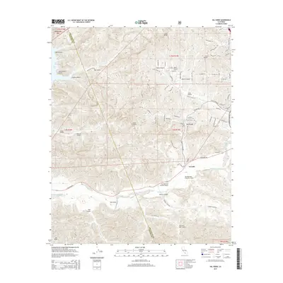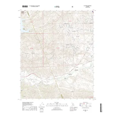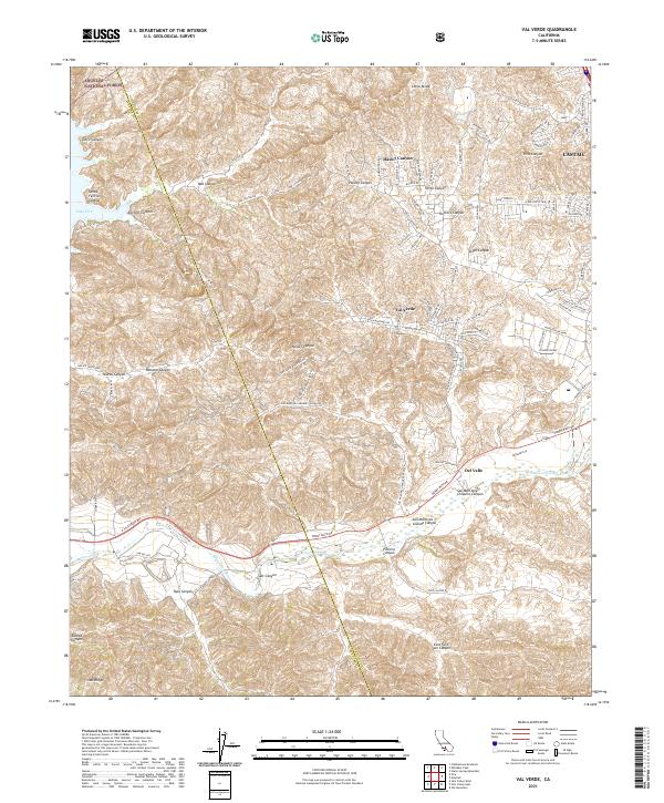
2021 Map of Val Verde
USGS Topo · Published 2021About this map
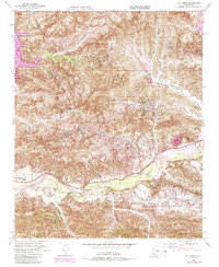
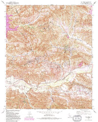
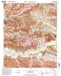
Val Verde and the surrounding canyonlands of the Los Angeles and Ventura county line appear here during a period of modern suburban transition. The landscape is defined by its complex topography, where residential developments like those along Hasley Canyon Rd and Hillcrest Pkwy meet the steep drainages of the Angeles National Forest. In the southern portion of the map, the Santa Clara River creates a broad alluvial corridor, flanked by Del Valle and the industrial and transport infrastructure following the river valley. The map documents the intricate network of fire roads and canyons, such as Holser Canyon and San Martinez Grande Canyon, which historically served as vital cattle and ranching routes before the encroachment of modern estates. To the northwest, the edge of Lake Piru sits at the base of Santa Felicia Canyon, marking the western boundary of this high-relief terrain.
Find a feature on this map
106 named features on this map. Tap any name to fly to it.
Don’t see what you’re looking for? This feature index may not catch every label — zoom into the map to look around manually.
Map Details
Editions of this 2021 Val Verde Map
This is the sole edition of this map. No revisions or reprints were ever made.
Historical Maps of Val Verde Through Time
7 maps found