Loading...
Loading map...2022 Map of Valdese
USGS Topo · Published 2022About this map
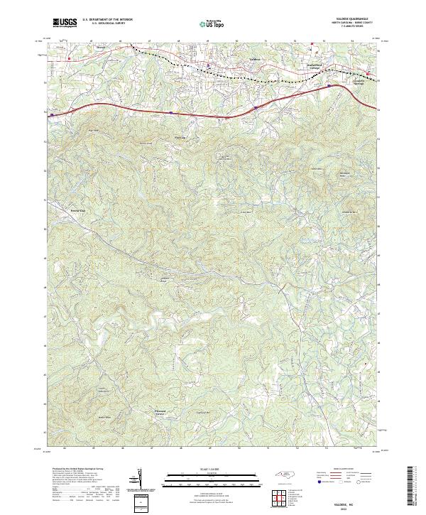
The town of Valdese, founded by Waldensian settlers, sits along the Norfolk Southern railroad line and US Hwy 70 corridor in Burke County. This 2022 survey illustrates the dense development between Drexel, Rutherford College, and Connelly Springs north of the Interstate 40 corridor. The landscape transitions sharply from these urbanized centers toward the South Mountains in the south, where high elevations like High Peak, Rector Knob, and Sugarloaf Mtn dominate the terrain.
Find a feature on this map
52 named features on this map. Tap any name to fly to it.
Don’t see what you’re looking for? This feature index may not catch every label — zoom into the map to look around manually.
Map Details
Date Portrayed2022
Date Published2022
PublisherU.S. Geological Survey
Map TypeTopographic
Scale1:24000
Physical Dimensions24 x 29 inches
Editions of this 2022 Valdese Map
This is the sole edition of this map. No revisions or reprints were ever made.
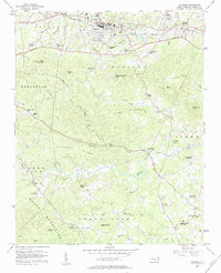
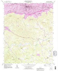
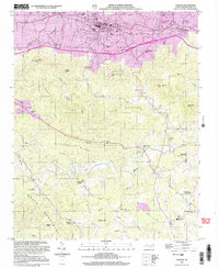
Historical Maps of Petche Gap Through Time
4 maps found
Featured Locations
Source Details
SourceU.S. Geological Survey
CopyrightPublic Domain