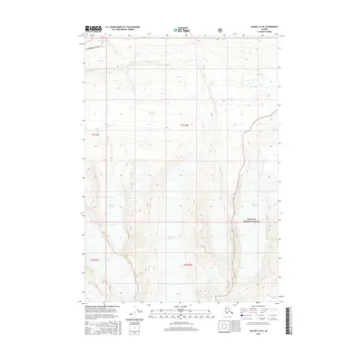
2016 Map of Valdez A-5 SE
USGS Topo · Published 2016About this map
High-altitude glacial terrain dominates this quadrangle in the Chugach Mountains, centered on the stark relief of the Chugach National Forest south of the Richardson Highway corridor. The landscape is defined by massive ice fields and active glacial movement, including the western margins of the Marshall Glacier and the primary flow of the Heiden Glacier. In the northern reaches, the terrain descends toward the Lowe River valley, where Thompson Lake sits near the primary transportation route. This 2016 survey documents the contemporary boundaries of the Deserted Glacier and the Bench Glacier, providing a detailed record of the ice extent and the high peaks that separate these frozen drainage basins in the southern Alaskan interior.
Find a feature on this map
1 named feature on this map. Tap any name to fly to it.
Don’t see what you’re looking for? This feature index may not catch every label — zoom into the map to look around manually.
Map Details
Editions of this 2016 Valdez A-5 SE Map
This is the sole edition of this map. No revisions or reprints were ever made.
Other maps of this area

1948 · Cordova
USGS Topo · 1:250,000

1950 · Cordova D-5
USGS Topo · 1:63,360

1951 · Cordova
USGS Topo · 1:250,000

1951 · Cordova D-4
USGS Topo · 1:63,360

1952 · Valdez
USGS Topo · 1:250,000

1953 · Cordova D-5
USGS Topo · 1:63,360

1953 · Cordova D-4
USGS Topo · 1:63,360

1953 · Valdez A-4
USGS Topo · 1:63,360

1953 · Valdez A-5
USGS Topo · 1:63,360

1959 · Cordova
USGS Topo · 1:250,000