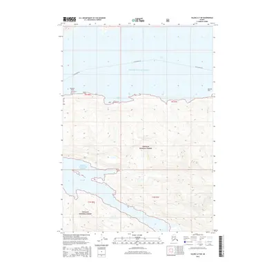
2016 Map of Valdez A-7 SW
USGS Topo · Published 2016About this map
Prince William Sound dominates this coastal landscape, where the maritime waters of Port Valdez and Jack Bay carve deep into the mountainous terrain of the Chugach National Forest. The map documents the critical maritime transit routes of the Alaska Marine Hwy as they navigate through the sound, passing prominent coastal features like Entrance Island and the secluded Anderson Bay. The intricate shoreline is further defined by natural landmarks such as Sawmill Split and the mouth of Shoup Cr. This survey illustrates the relationship between the protected federal forest lands and the essential water-based transportation network that links these isolated Alaskan reaches. The topographical detail reveals the steep elevations immediately rising from the water's edge, typical of the fjords in this region.
Find a feature on this map
13 named features on this map. Tap any name to fly to it.
Don’t see what you’re looking for? This feature index may not catch every label — zoom into the map to look around manually.
Map Details
Editions of this 2016 Valdez A-7 SW Map
This is the sole edition of this map. No revisions or reprints were ever made.
Other maps of this area

1948 · Cordova
USGS Topo · 1:250,000

1950 · Cordova D-7
USGS Topo · 1:63,360

1951 · Cordova
USGS Topo · 1:250,000

1951 · Cordova D-8
USGS Topo · 1:63,360

1952 · Valdez
USGS Topo · 1:250,000

1952 · Cordova D-8
USGS Topo · 1:63,360

1952 · Cordova D-7
USGS Topo · 1:63,360

1959 · Cordova
USGS Topo · 1:250,000

1960 · Valdez A-8
USGS Topo · 1:63,360

1960 · Valdez A-7
USGS Topo · 1:63,360