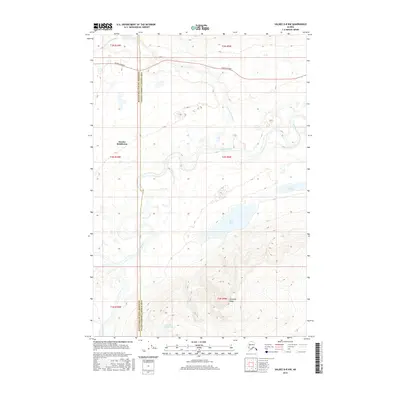
2016 Map of Valdez D-8 NW
USGS Topo · Published 2016About this map
Eureka Roadhouse stands as the primary landmark in this subarctic corridor of the Copper River Basin, marking a historic stop along the arterial Glenn Highway. The landscape is defined by the winding course of the Nelchina River and its tributary, the Little Nelchina River, which carve through the high-elevation terrain near the Matanuska-Susitna Borough boundary. To the south, the elevation rises sharply toward the prominent Heavenly Ridge, overlooking the scattered alpine waters of Twin Lakes and Nelchina Bench Lake. This mapping reflects a remote wilderness where transport and hydrology dictate the pattern of human presence, centered almost entirely on the highway that links the interior with the coast.
Find a feature on this map
14 named features on this map. Tap any name to fly to it.
Don’t see what you’re looking for? This feature index may not catch every label — zoom into the map to look around manually.
Map Details
Editions of this 2016 Valdez D-8 NW Map
This is the sole edition of this map. No revisions or reprints were ever made.
Other maps of this area

1948 · Anchorage D-1
USGS Topo · 1:63,360

1949 · Talkeetna Mountains A-1
USGS Topo · 1:63,360

1949 · Gulkana A-6
USGS Topo · 1:63,360

1949 · Valdez D-8
USGS Topo · 1:63,360

1950 · Talkeetna Mountains
USGS Topo · 1:250,000

1951 · Gulkana
USGS Topo · 1:250,000

1951 · Anchorage
USGS Topo · 1:250,000

1951 · Anchorage D-1
USGS Topo · 1:63,360

1952 · Valdez D-8
USGS Topo · 1:63,360

1952 · Valdez
USGS Topo · 1:250,000