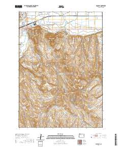
2020 Map of Vale East
USGS Topo · Published 2020About this map
The Malheur River valley serves as the agricultural and administrative hub of this eastern Oregon landscape, where the city of Vale sits at the junction of the river and Willow Creek. This 2020 record illustrates the complex water management system essential to the region, featuring an extensive network of irrigation infrastructure including the Nevada Canal, Mill Ditch, and the Lower Pump Canal. Beyond the green river corridor, the terrain rises into the distinctive high desert formations of Rhinehart Buttes and Vale Butte.
Find a feature on this map
64 named features on this map. Tap any name to fly to it.
Don’t see what you’re looking for? This feature index may not catch every label — zoom into the map to look around manually.
Map Details
Editions of this 2020 Vale East Map
This is the sole edition of this map. No revisions or reprints were ever made.
Other maps of this area

1906 · Mitchell Butte
USGS Topo · 1:125,000

1950 · Jamieson
USGS Topo · 1:62,500

1951 · Malheur Butte
USGS Topo · 1:24,000

1951 · Moores Hollow
USGS Topo · 1:62,500

1955 · Baker
USGS Topo · 1:250,000

1955 · Boise
USGS Topo · 1:250,000

1958 · Boise
USGS Topo · 1:250,000

1959 · Baker
USGS Topo · 1:250,000

1962 · Boise
USGS Topo · 1:250,000
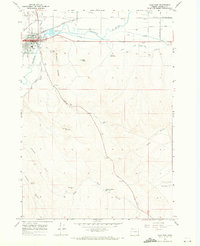
1967 · Vale East
USGS Topo · 1:24,000