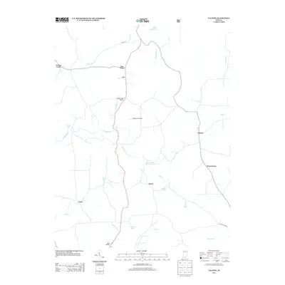
2013 Map of Valeene
USGS Topo · Published 2013About this map
Valeene and Pearsontown anchor the eastern reaches of this Orange County landscape, where the terrain is defined by the winding course of the Patoka River and its numerous tributaries. The central corridor is dominated by State RD 37, which connects several small communities including Pine Valley, Underwood Hollow, and Bacon. This road network facilitates movement through a region characterized by specialized water bodies such as Sleepy Hollow Lake, Timberlin Lake, and Walton Lake.
Find a feature on this map
26 named features on this map. Tap any name to fly to it.
Don’t see what you’re looking for? This feature index may not catch every label — zoom into the map to look around manually.
Map Details
Editions of this 2013 Valeene Map
This is the sole edition of this map. No revisions or reprints were ever made.
Other maps of this area

1947 · Hardinsburg
USGS Topo · 1:24,000

1948 · Milltown
USGS Topo · 1:24,000

1949 · Hardinsburg
USGS Topo · 1:24,000

1950 · Valeene
USGS Topo · 1:24,000

1950 · English
USGS Topo · 1:24,000

1951 · French Lick
USGS Topo · 1:24,000

1956 · Greenbrier
USGS Topo · 1:24,000

1956 · Taswell
USGS Topo · 1:24,000

1956 · Vincennes
USGS Topo · 1:250,000

1957 · Vincennes
USGS Topo · 1:250,000