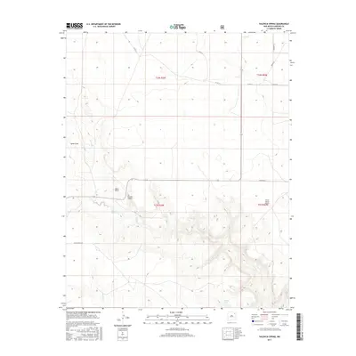
2017 Map of Valencia Spring
USGS Topo · Published 2017About this map
Valencia Spring and several other natural water sources define the geography of this Harding County landscape, where the high plains meet the intricate drainage patterns of Carrizo Canyon. The map reveals a remote ranching environment organized by the Public Land Survey System, with township boundaries like t21n r28e carving the territory into a grid. Human presence is sparse but specific, centered around landmarks like the Clavel Ranch Airport and a network of rural roads such as Miller Ranch Rd and Dehaven Rd. Seasonal watercourses like Carrizo Cr and Sabino Cr wind through the southern draws, while Spear Draw dominates the northwest. The presence of Virgin Spring, El Toro Spring, and Alamoso Spring underscores the critical importance of reliable water in this arid region, providing a detailed look at the infrastructure of 21st-century high-desert life.
Find a feature on this map
20 named features on this map. Tap any name to fly to it.
Don’t see what you’re looking for? This feature index may not catch every label — zoom into the map to look around manually.
Map Details
Editions of this 2017 Valencia Spring Map
This is the sole edition of this map. No revisions or reprints were ever made.
Other maps of this area

1954 · Santa Fe
USGS Topo · 1:250,000

1954 · Raton
USGS Topo · 1:250,000

1954 · Tucumcari
USGS Topo · 1:250,000

1954 · Dalhart
USGS Topo · 1:250,000

1958 · Raton
USGS Topo · 1:250,000

1958 · Santa Fe
USGS Topo · 1:250,000

1958 · Tucumcari
USGS Topo · 1:250,000

1958 · Dalhart
USGS Topo · 1:250,000

1962 · Dalhart
USGS Topo · 1:250,000

1973 · Yates SE
USGS Topo · 1:24,000