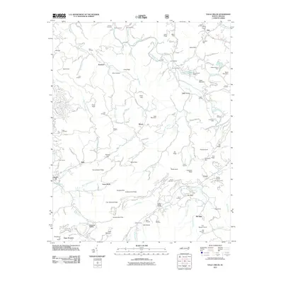
2011 Map of Valle Crucis
USGS Topo · Published 2011About this map
The Watauga River flows through a landscape of high ridges and narrow gaps, anchoring the rural communities of Avery and Watauga counties. The historic settlement of Valle Crucis sits near the confluence of Dutch Creek and Baird Creek, serving as a central hub for the surrounding mountain hollows. The terrain is defined by prominent elevations such as Baird Mountain and Tester Mountain, while transportation routes like NC-1114 and NC-1118 follow the natural contours of the land.
Find a feature on this map
161 named features on this map. Tap any name to fly to it.
Don’t see what you’re looking for? This feature index may not catch every label — zoom into the map to look around manually.
Map Details
Editions of this 2011 Valle Crucis Map
This is the sole edition of this map. No revisions or reprints were ever made.
Other maps of this area

1893 · Cranberry
USGS Topo · 1:125,000

1895 · Cranberry
USGS Topo · 1:125,000

1899 · Cranberry
USGS Topo · 1:125,000

1902 · Cranberry
USGS Topo · 1:125,000

1934 · Valle Crucis
USGS Topo · 1:24,000

1934 · Elk Park
USGS Topo · 1:24,000

1934 · Boone
USGS Topo · 1:24,000

1934 · Newland
USGS Topo · 1:24,000

1935 · Doe Mountain
USGS Topo · 1:48,000

1935 · Sherwood
USGS Topo · 1:24,000