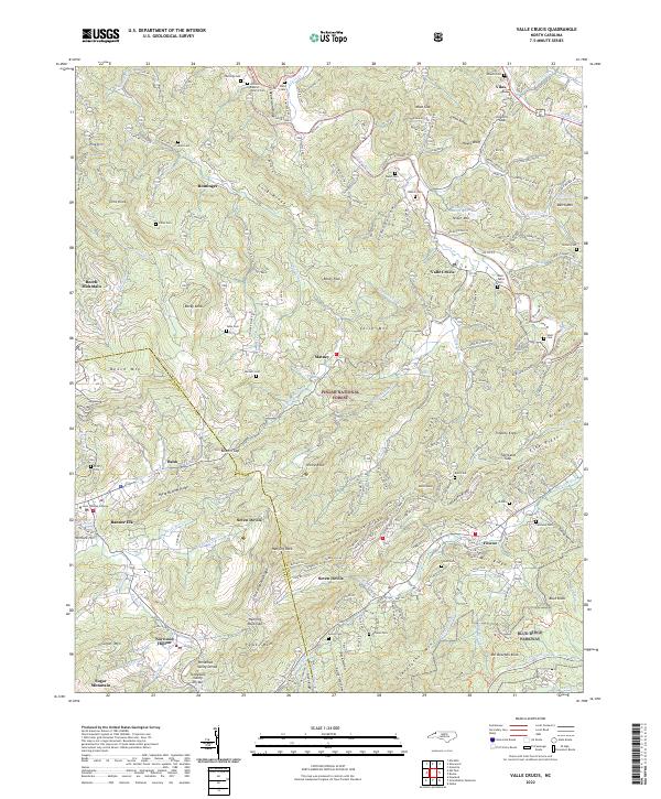
2022 Map of Valle Crucis
USGS Topo · Published 2022About this map
The mountain valleys of Watauga and Avery Counties converge in this recent study of the High Country. Valle Crucis remains the centerpiece, situated where Dutch Cr and Craborchard Cr meet the Watauga River. The landscape is defined by its deep genealogical roots, with numerous family burial grounds like the Mast Cem, Baird Cem, and Shull Cem scattered along the winding state roads. Higher elevations are marked by notable peaks such as Grandfather Mtn and Hanging Rock, while the southern edge of the map features the Blue Ridge Parkway and the Tanawha Trl. Settlements like Banner Elk, home to Lees-McRae College, and Seven Devils show the modern development of these historic gaps and ridges, including the recreational landscape near Sugar Mtn.
Find a feature on this map
228 named features on this map. Tap any name to fly to it.
Don’t see what you’re looking for? This feature index may not catch every label — zoom into the map to look around manually.
Map Details
Editions of this 2022 Valle Crucis Map
This is the sole edition of this map. No revisions or reprints were ever made.
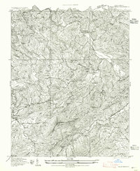
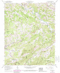
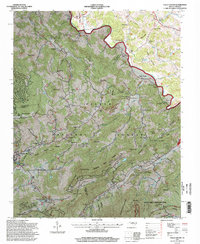
Historical Maps of Valley Creek Through Time
4 maps found