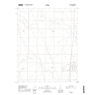
2018 Map of Valle Tank
USGS Topo · Published 2018About this map
Valle Airport and the adjacent Airpark development anchor the southeastern corner of this Coconino County landscape. The area is characterized by a network of drainage systems, most notably Spring Valley Wash and Miller Wash, which dictate the local topography. This High Plateau region relies heavily on water management, evidenced by a dense distribution of stock tanks including Valle Tank, Number Four Tank, and Rio Tank.
Find a feature on this map
40 named features on this map. Tap any name to fly to it.
Don’t see what you’re looking for? This feature index may not catch every label — zoom into the map to look around manually.
Map Details
Editions of this 2018 Valle Tank Map
This is the sole edition of this map. No revisions or reprints were ever made.
Other maps of this area

1886 · Chino
USGS Topo · 1:250,000

1891 · Chino
USGS Topo · 1:250,000

1948 · Williams
USGS Topo · 1:250,000

1954 · Williams
USGS Topo · 1:250,000
1956 · Red Butte SE
USGS Topo · 1:24,000

1956 · Williams
USGS Topo · 1:250,000

1960 · Williams
USGS Topo · 1:250,000

1961 · Williams
USGS Topo · 1:250,000

1962 · Valle
USGS Topo · 1:62,500
1979 · Red Butte
USGS Topo · 1:24,000